RHODESIANA / BOOKS
RHODESIANA / BOOKS
RHODESIANA
|
 |
| RNA67 |
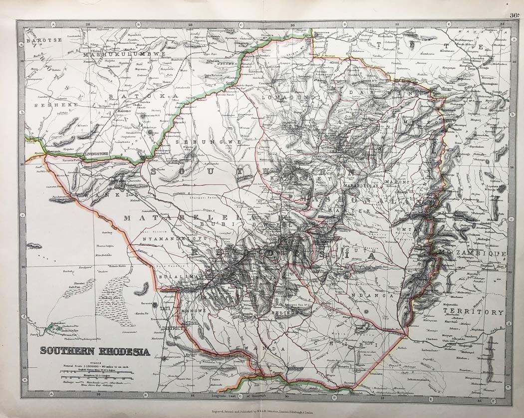
| MAP c1925 colour printed Map titled 'SOUTHERN RHODESIA' (425x328mm), published by W. and A. K. Johnston, Edinburgh & London. Very detailed with districts, towns and villages indicated together with rivers, mines, topography, roads, railways, etc. Numbered as '36A'. Issued as folded vertically. Some minor edge faults now strengthened with archival tape. Most attractive. |
| £65 |
|